 BoarderForge
Forge boards out of the real Earth.
Draw territories over real coastlines, stamp hand-drawn history onto them, and print a board your table will fight over.
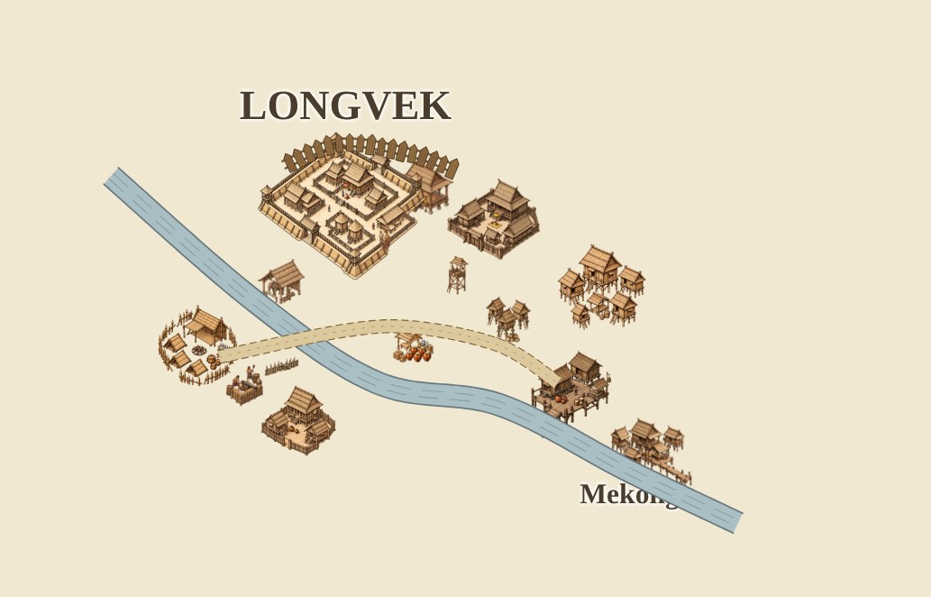
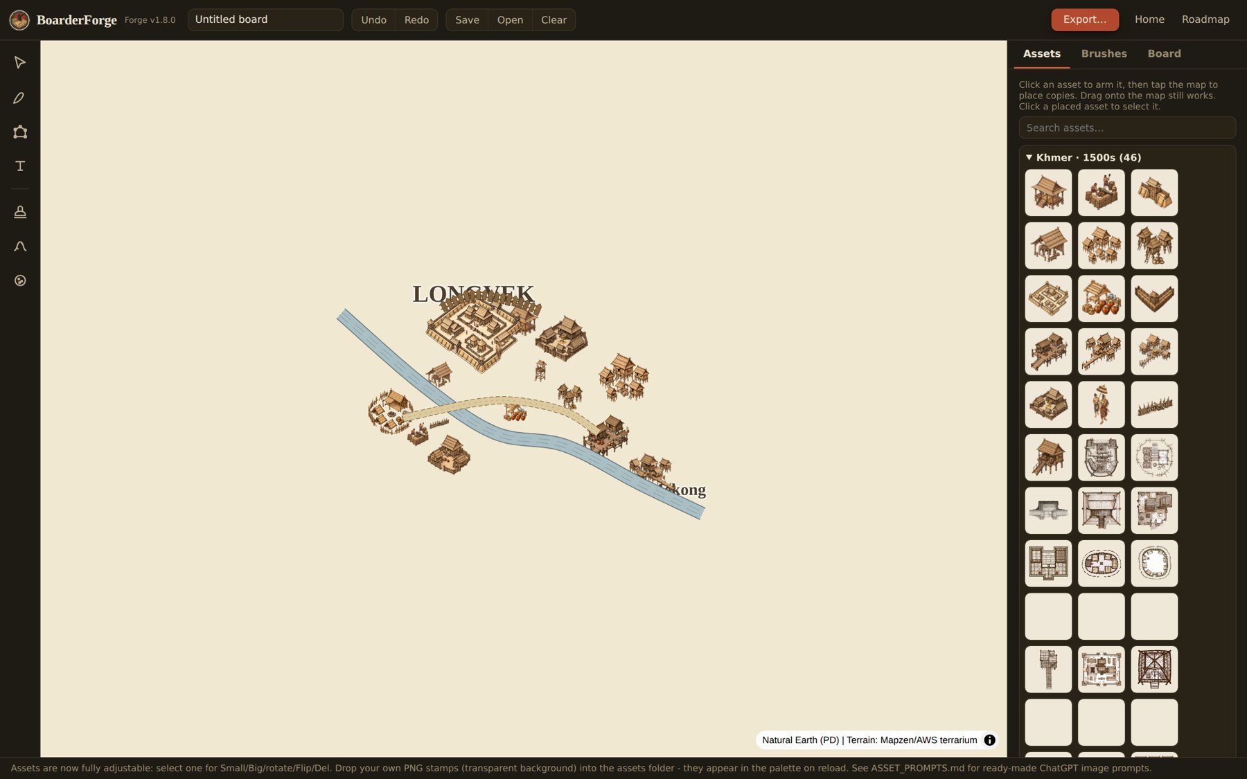
Longvek and the Mekong, laid down with Pack 001 in a few minutes of tapping.
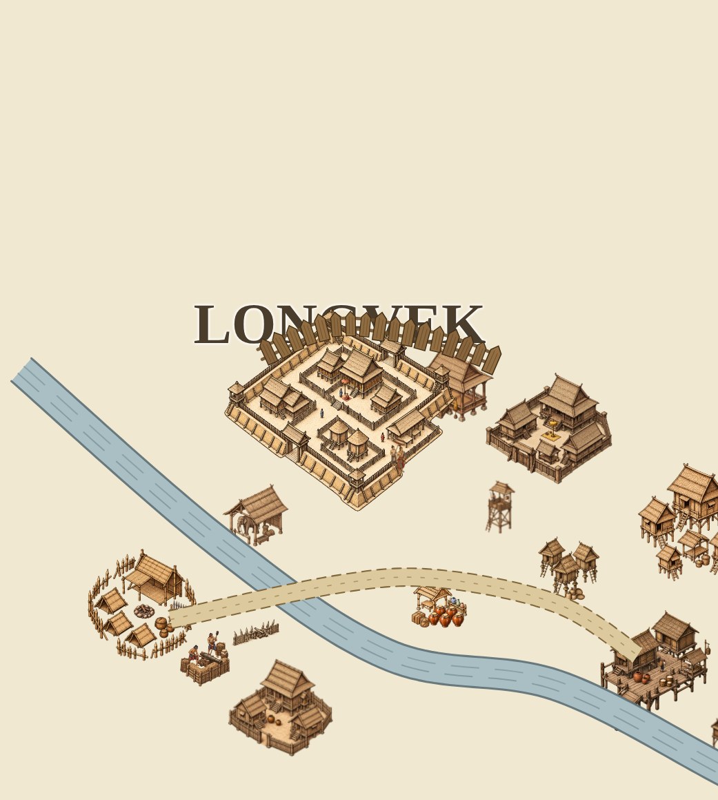
Three moves, one board.
Draw
Trace your territories straight onto real geography. Borders snap to their neighbors, so the board stays playable instead of turning into a coloring exercise.
Stamp
Arm an asset and tap. Citadels, war camps, and river ports land at their true size on the map, and every piece is drawn by hand.
Export a PDF up to A0 at 300 DPI. Text stays vector, the art stays sharp, and the print shop takes the file as it is.
Pack 001 starts with a war.
Longvek, the 1590s: the Khmer court, its river towns, and the Spanish adventurers who sailed up the Mekong to meddle in all of it. Forty-six hand-drawn pieces so far, from the citadel down to two figures walking under a parasol. The Spanish side is on the drawing table now.
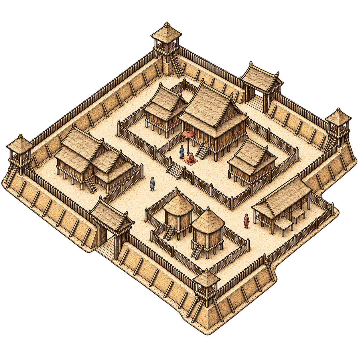
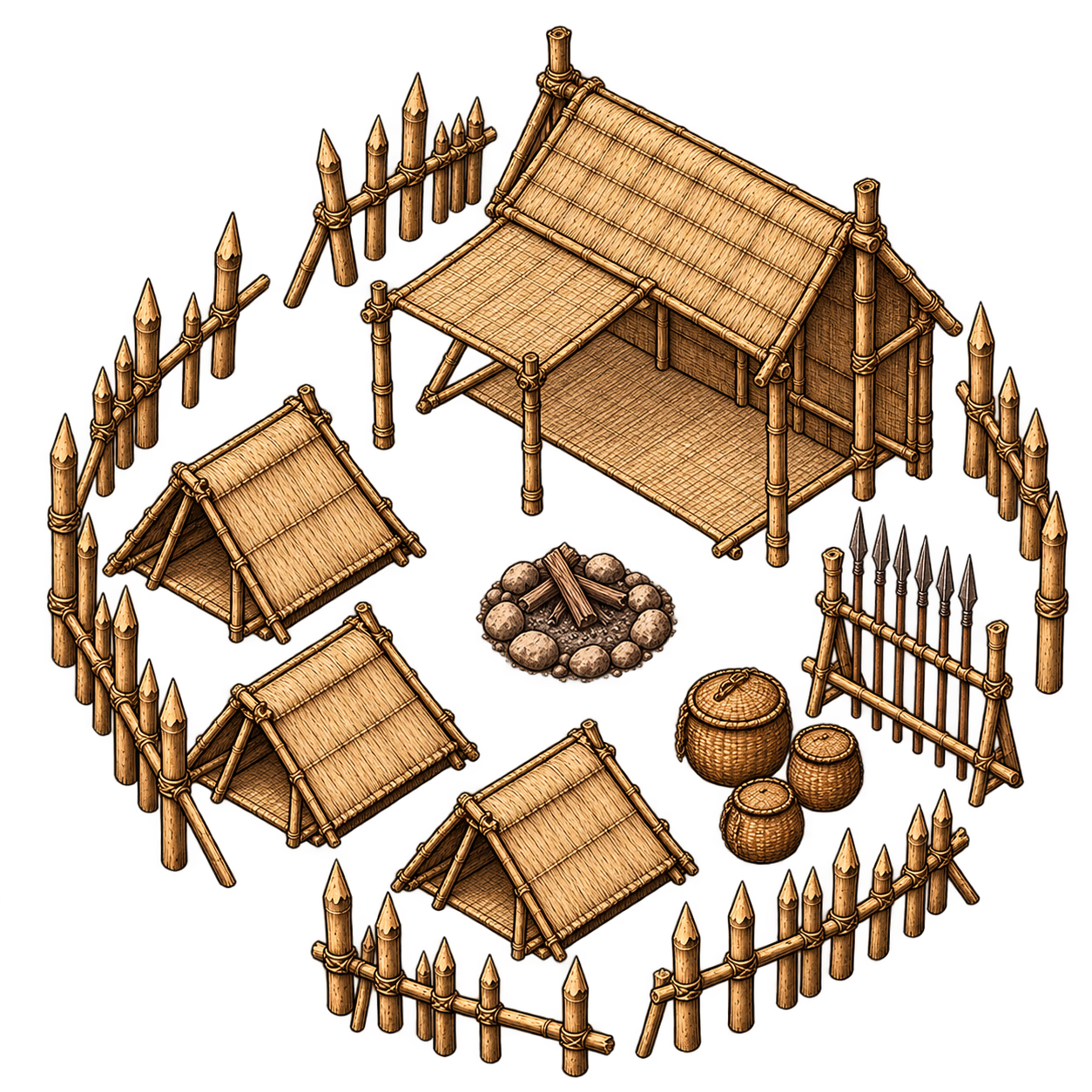
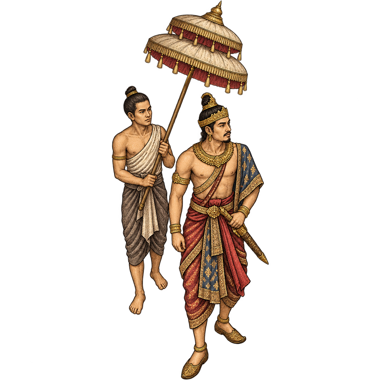
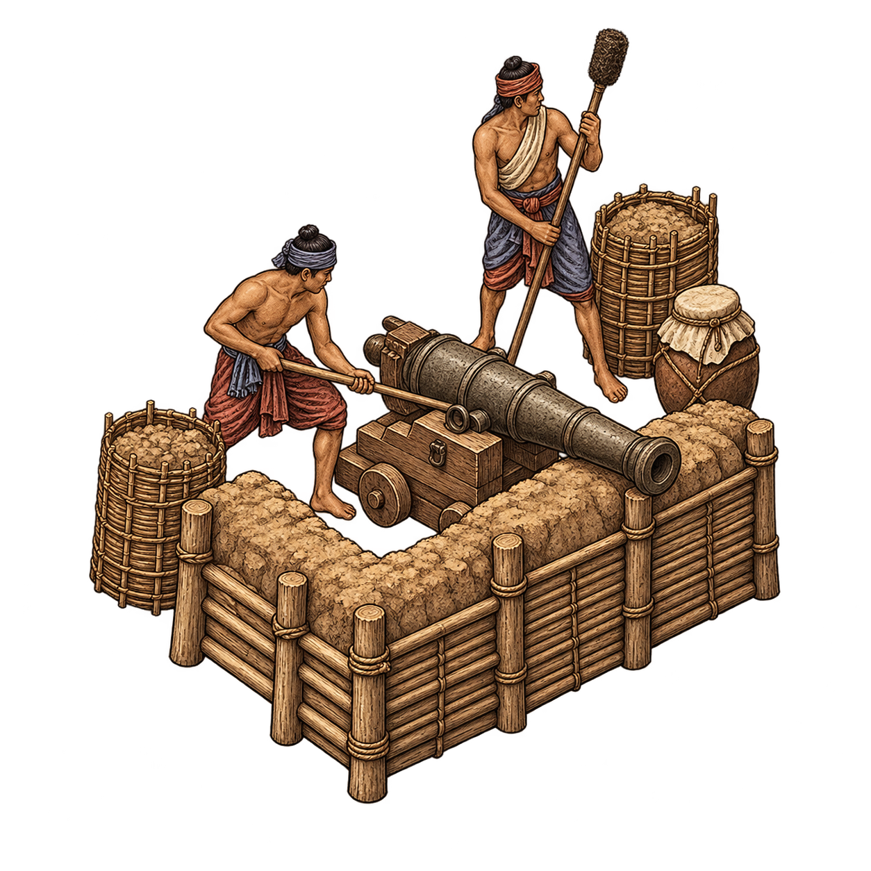
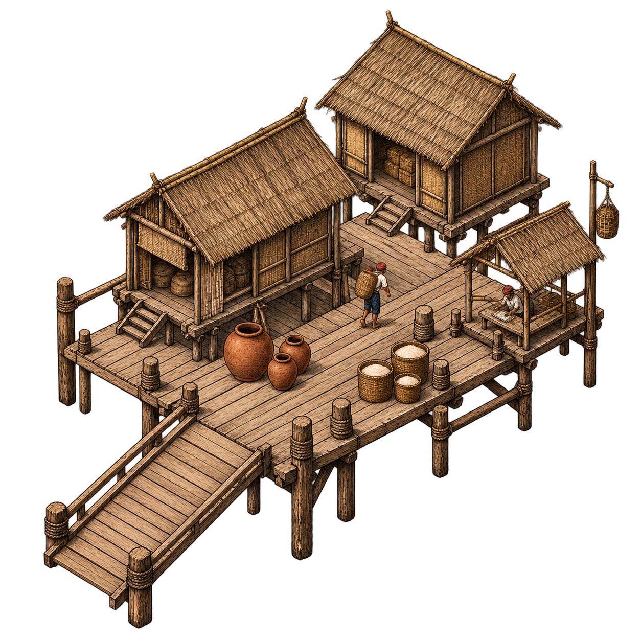
Every piece ships as a transparent PNG master. Drop your own art in a folder and it shows up in the library beside them.
Drag a line, get a wall.
Drag a rough loop and BoarderForge raises a finished Khmer earthen wall, with corner towers, gatehouses, and sharpened stakes facing the right way at every turn. Rivers and dirt roads come from the same stroke engine, and your print renders from the same pieces you see on screen.
Built to be printed.
Boards export as tiled PDFs, tested at A0 and 300 DPI, with seams that land between pixels instead of across your walls. The whole Earth ships with it: Natural Earth coastlines, public domain, no account, nothing to sign up for.
On the anvil
The Spanish half of Pack 001
Galleons, arquebusiers, a stockade on the riverbank, and the Cross of Burgundy planted where it was never welcome.
Blank parchment worlds
The same tools on an empty sheet, for the places that never existed.
Other worlds entirely
Mars, Venus, and the Moon have public elevation data too. The forge does not much care which planet the coastline came from.